Innovative Thinking | Sewer blockage risk assessment tool
Upstream thinking
Anglian Water has developed a digital risk assessment tool that supports proactive interventions to reduce obstructions in its sewer network, writes Belinda Smart.
Anglian Water is the largest water and sewerage company in England and Wales by geographic area, covering around 27,476km² in the North East and East of England. Apart from supplying water to 4.3M people, its remit encompasses the management of 77,000km of sewers which can prove challenging in terms of addressing and preventing blockages.
Sewer obstruction typically results from the presence of non-flushable domestic waste and the build-up of fat, grease and silt. It can also be caused by the incursion of tree roots into pipes. Anglian Water geospatial strategy manager Michael Wingell explains that blockages are a key cause of failure in sewage systems, stopping the flow of wastewater and increasing the risk of sewage backing up into streets or water courses.
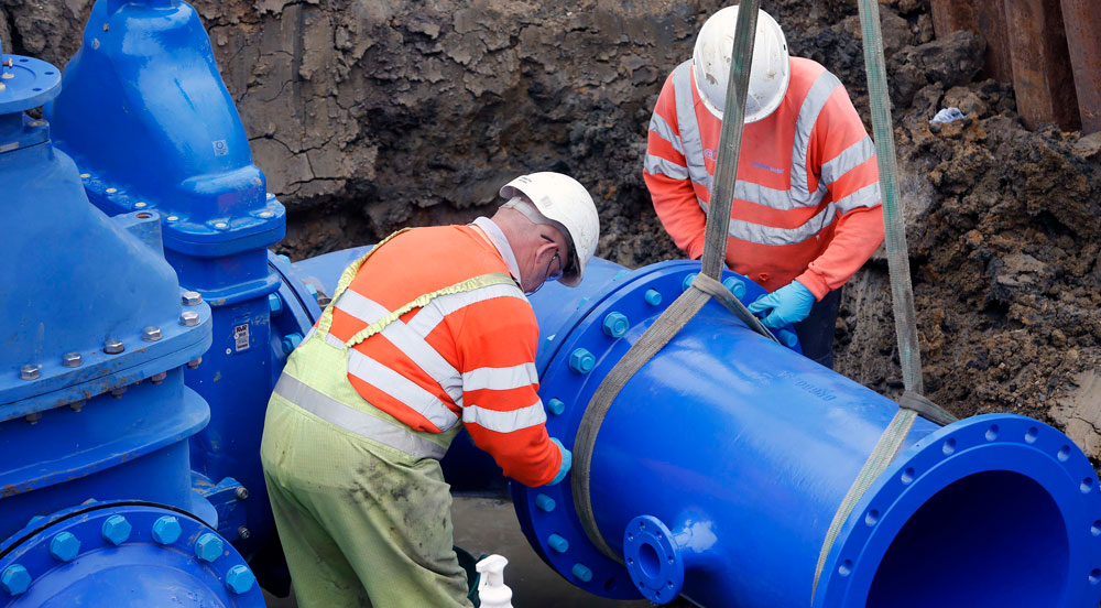 The tool offers a real time snapshot of sewer risk that supports maintenance and upgrades
To reduce that risk, Anglian Water has developed a digital tool to identify areas of the network where blockage risks are higher, enabling it to carry out proactive interventions.
Wingell says Anglian Water has historically used planned preventative maintenance (PPM) to mitigate blockages. Its PPM programme covers its entire network and entails water jetting to clean sewers.
Historically PPM has been arranged at regular intervals on the Anglian Water network. Wingell says PPM schedules are sometimes also implemented reactively following specific blockage incidents. However he explains that since April 2022, Anglian Water has been using a more focused, preventative and proactive approach to blockage mitigation. It can do this thanks to a digital risk assessment tool that supports targeted, predictive maintenance.
TOOL DEVELOPMENT
Creating what is described as “a real-time picture of sewer risk”, the tool was developed in-house by a team led by Wingell. It uses mapping technology from software supplier Esri UK along with data from various sources to give greater precision in predicting, preventing and responding to blockages.
Esri UK head of critical national infrastructure Craig Hayes explains that Esri mapping and spatial analytics software uses geographic information system (GIS) technology to provide users with tools that capture, view, edit, manage, assess and share location data on their assets. He says that the software is already used by 90% of water companies in the UK.
Hayes says that organisations typically use Esri’s ArcGis Online cloud-based mapping and analysis to make maps, analyse data and collaborate.
“Most water utilities will have some form of dashboard in the control room to show them where issues are on the network,” he says. “But what’s unique in what Anglian Water is doing is bringing different data sources together to build up a proactive picture of risk.”
Data is drawn from Anglian Water’s own network of flow monitors. The monitors produce real time measurements of volumes in sewers supported by Internet of Things technology. They send alerts to Anglian Water when sewage levels reach a critical height.
The risk tool integrates this data with that of other organisations, for example, flood information from the Environment Agency or weather information from the Met Office.
The data can be static – such as information about boundaries or rivers – or real time, from all involved organisations’ monitors.
Critically, the tool has been configured to be predictive, Wingell explains: “It uses data from historical and current events where planned activities are taking place or weather events are occurring. But it can also work to anticipate future events based on accumulated weather forecasts over a seven-day period. The tool gives us the insight to predict where the risk is and where we need to target accordingly.”
KEY FACTS
27,4760km2Area of England covered by Anglian Water
77,000kmLength of Anglian Water sewer system
RISK SCORING
During the early stages of the tool’s development, Anglian Water held workshops with subject matter experts to model the risk factors for sewers, such as their location, type of construction material used, size, proximity to water courses and historic pollution events.
Wingell explains: “We then analysed current data to see if those factors correlated with our evidence of blockages and pollutions, then refined and weighted the data accordingly.”
From this weighting, a risk-scoring framework was developed. The scoring uses a traffic light system to visually display the level of risk of sewer blockages across Anglian Water’s network.
Wingell explains: “Red means the sewer is likely to have problems, while at the opposite end, green means it is historically sound. We can now target those areas that are red which look likely to cause the most problems. This means we can get ahead of the game in terms of proactive work.”
PROMISING RESULTS
Anglian Water has been using the risk tool to inform its maintenance programme since it went live in April 2022 and initial results are promising.
Since the tool went live, it has located more than 1,000 blockages that were subsequently cleared. In the same period, 112km of sewers were cleaned and 8t of debris were removed. The tool also discovered more than 2,000 structural impacts on pipes, including pipe breakages and tree root intrusions.
Overall, its use resulted in a 51% reduction in blockages through preventative clearing. This figure was calculated by modelling historical data to determine the number of blockages likely to occur within the period since the tool went live without using the tool, compared to the number of blockages that did occur.
Anglian Water has calculated that a reduction in blockages resulted in markedly fewer engineer call outs to investigate, equating to approximately £1M in operational savings. These include labour hours, travel and equipment costs.
The tool can also be used to monitor the effects of extreme weather on the network.
“The tool gives us the insight to predict where the risk is and where we need to target accordingly
Wingell adds that the tool has been useful for identifying where to install 1,200 flow monitors on the Anglian Water network, with the aim of rolling out 22,000 over the next two years.
He says the expanded flow monitor data from across the network will be integrated into the tool going forward.
Anglian Water also plans to use the tool to share data and collaborate with third parties, including the Environment Agency and local authorities, when an extreme weather event occurs.
Wingell is also looking at incorporating artificial intelligence and machine learning into the tool.
“It is our hope to have a learning model that can revise a sewer’s risk weighting based upon the activities taking place and the impact they have had against reducing blockages and pollution incidents. We can then start using flow monitor data as well as machine learning and AI techniques to build a prescriptive model.”
For Wingell, the key benefit of the tool can be simply but powerfully summed up. He says: “It has enabled Anglian to move its business model from being reactive to proactive.”